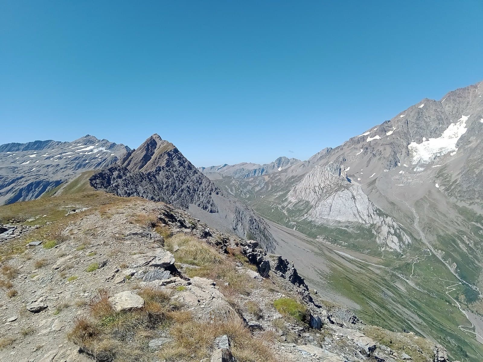
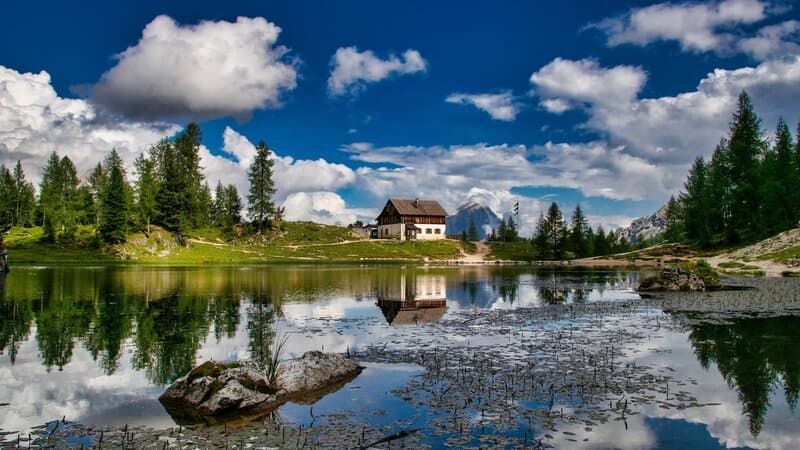
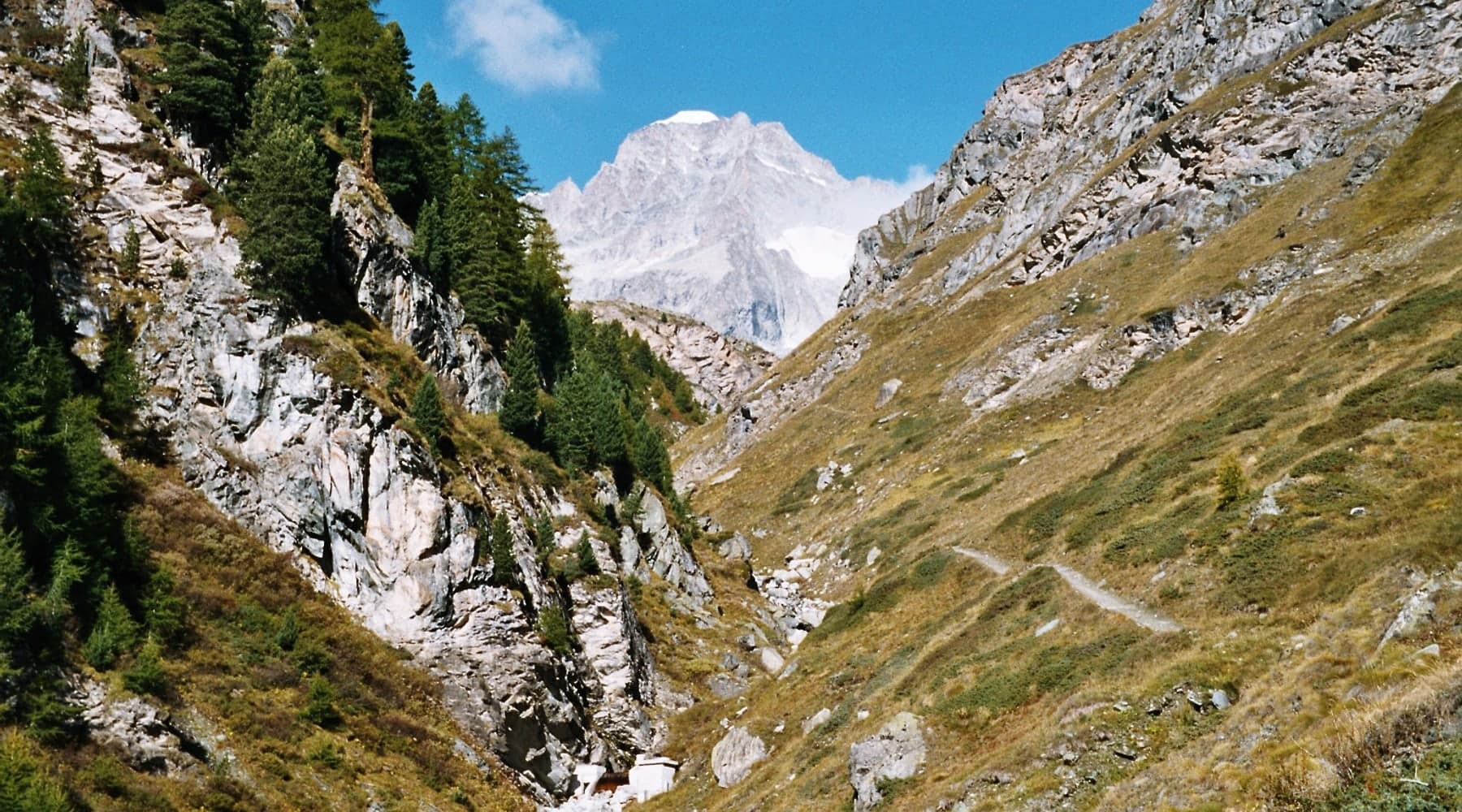
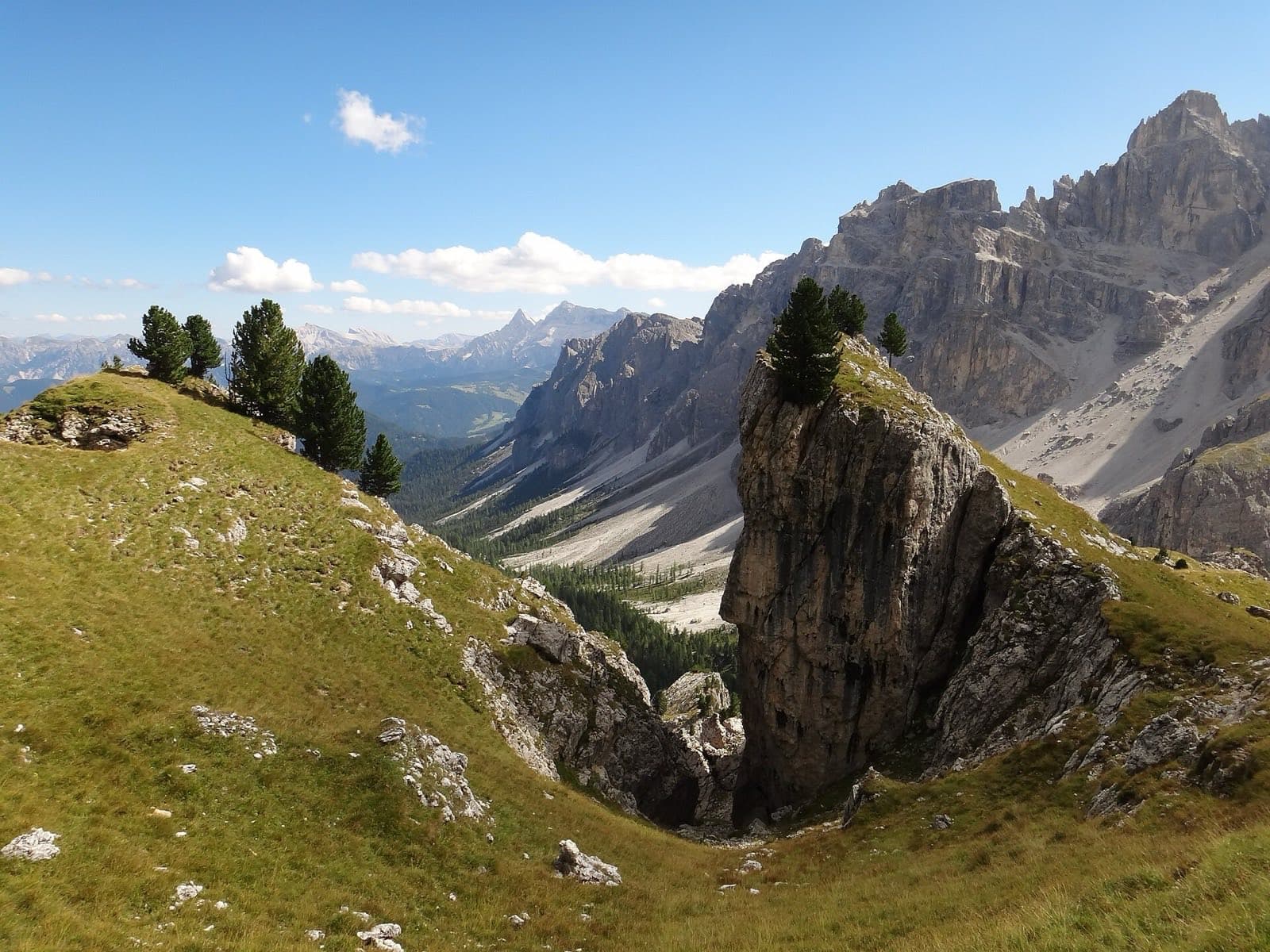
A demanding high-alpine loop around the Alps' second-highest massif. Nine stages and six passes between 2,600 and 3,300 m link Swiss Zermatt with the Italian valleys of Gressoney, Alagna and Macugnaga — with the Matterhorn and Monte Rosa's glaciers in constant view.
The Tour of Monte Rosa circles the entire Monte Rosa massif along the Swiss–Italian border and ranks among the toughest loops in the Alps. The route stays mostly above 2,000 m, crosses six high passes and classically traverses the glacier below the Theodul Pass, where crampons or a mountain guide are required. Nights are spent in mountain huts and in Italian and Swiss alpine villages spanning four language areas. The reward is an unbroken backdrop of 4,000 m peaks — the Matterhorn, Dufourspitze (4,634 m) and Lyskamm — and the wild Macugnaga–Saas-Fee stage over the Monte Moro pass.
Distance
143 km
Time
9-11 days
Difficulty
Hard
Total elevation gain
9,800 m
Route & profile
Quick orientation of the route line, start, end and elevation profile.
Elevation profileHighest 3,317 m a.s.l. · Theodulhütte
Walliské a Penninské Alpy
143 km · 9 stages · ↑ 9,800 m
Approximate point elevations derived from Copernicus DEM GLO-90 after geocoding stage locations via OSM; problematic points manually verified from map or trekking sources. Verify the specific GPX/map before your trip.
Map data: OpenStreetMap contributors, displayed via Waymarked Trails.
Planning
Daily average
16 km
Average/day
80-130 EUR
Season
July, August, September
Accommodation
mountain hut, guesthouse
From July to mid-September. Snow lingers on the passes in June and early July and some huts are still closed; huts and lifts wind down in early September.
A loop around the entire Monte Rosa massif on the Swiss–Italian border. It isn't extreme in distance, but six high passes, large daily ascent and the classic glacier crossing below the Theodul Pass make it a physically and technically demanding trek.
Who it's for
Experienced high-alpine hikers who are acclimatised and sure-footed on exposed, rocky terrain. The Theodul glacier variant requires crampons and a rope, or a mountain guide.
Suggested pace
Nine walking days is a common brisk pace. With acclimatisation, rest days and variants, expect 10 to 12 days.
Logistics
Start and finish in Zermatt (by train via Täsch; the village is car-free). Several sections can be shortened by cable car — Theodul, Monte Moro. Book mountain huts well ahead in peak season.
Resupply & permits
Resupply
The villages of Gressoney, Alagna, Macugnaga, Saas-Fee and Grächen have shops and services. Between them there are only mountain huts with half board.
Permits & regulations
No permits are required. Only mountain-hut reservations are needed in season.
Why go
A loop around the second-highest massif in the Alps, ringed by 4,000 m peaks.
Constant views of the Matterhorn, Dufourspitze (4,634 m) and Lyskamm.
Passing through four language and cultural areas of the Alpine arc.
Watch out for
The glacier crossing below the Theodul Pass needs proper equipment or a mountain guide.
Weather changes fast at altitude — storms and fog on exposed passes.
The route stays above 2,000 m for long stretches; acclimatisation is essential.
Hut and lift seasons are short — check operations before you go.
Sources
Official
OfficialZermatt Tourism — Tour Monte RosaOfficialEN
OfficialAlagna Valsesia — Tour del Monte Rosa (TMR)OfficialEN
Guides & blogs
GuidebookCicerone: Hiking the Tour of Monte RosaEN
GuidebookThe Hiking Club — Tour of Monte RosaEN
BlogUKClimbing — Trekking the Tour of Monte RosaEN
Logistics
LogisticsMont Blanc Treks — Tour de Monte Rosa (self-guided)EN
Frequently asked questions
When is the best time for Tour de Monte Rosa?
From July to mid-September. Snow lingers on the passes in June and early July and some huts are still closed; huts and lifts wind down in early September.
How hard is Tour de Monte Rosa?
Tour de Monte Rosa is rated as Hard. A loop around the entire Monte Rosa massif on the Swiss–Italian border. It isn't extreme in distance, but six high passes, large daily ascent and the classic glacier crossing below the Theodul Pass make it a physically and technically demanding trek.
How many days does Tour de Monte Rosa take?
Tour de Monte Rosa usually takes 9–11 days. Nine walking days is a common brisk pace. With acclimatisation, rest days and variants, expect 10 to 12 days.
Do I need a permit for Tour de Monte Rosa?
No permits are required. Only mountain-hut reservations are needed in season.
What about resupply on Tour de Monte Rosa?
The villages of Gressoney, Alagna, Macugnaga, Saas-Fee and Grächen have shops and services. Between them there are only mountain huts with half board.